
Urban Planning and Smart Cities
Transform Urban Planning and Smart Cities with Gazer3D
Introduction
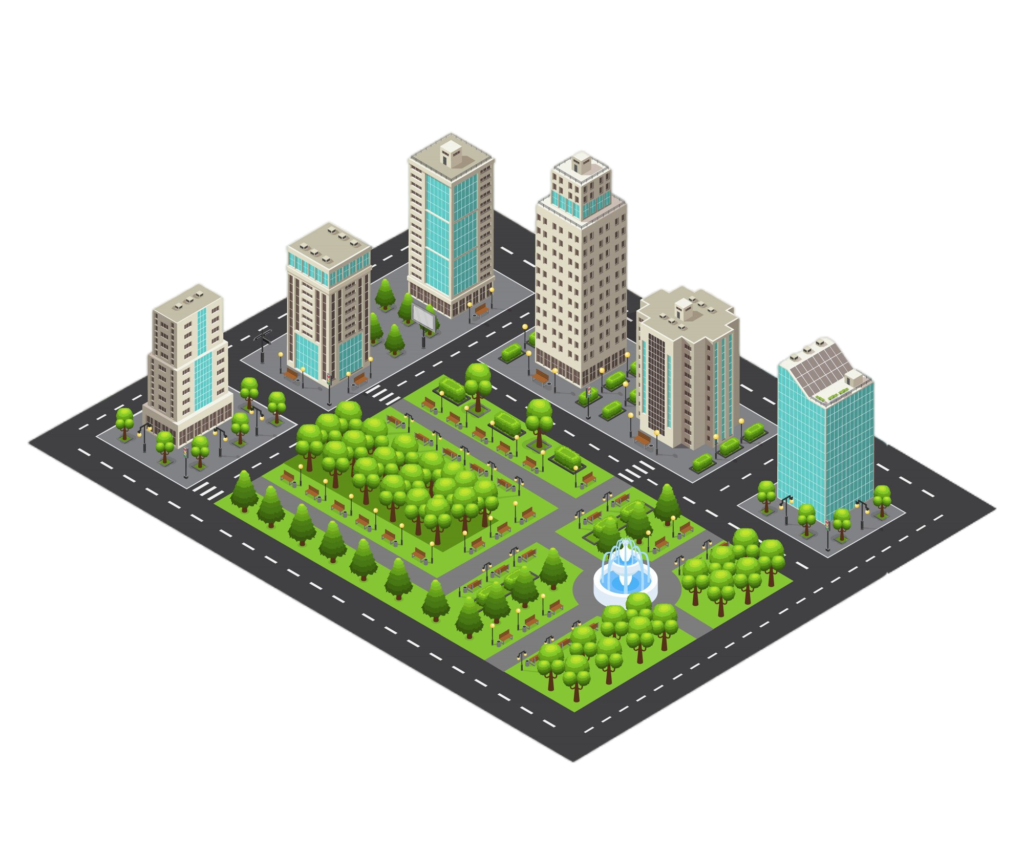
Urban planning and the development of smart cities are at the forefront of modern infrastructure development. With increasing urbanisation, there is a pressing need for innovative solutions that can optimise city management, enhance sustainability, and improve the quality of life for residents. Gazer3D offers a comprehensive digital twin platform that empowers city planners, engineers, and administrators to design, manage, and optimise urban environments effectively.
Key Benefits:
- Enhance city planning with accurate 3D models.
- Improve infrastructure management through real-time data integration.
- Promote sustainability and smart city initiatives with advanced analytics.
Industry Challenges
Urban planning and smart city development come with a myriad of challenges. These include the need for accurate and up-to-date information, efficient infrastructure management, sustainable development practices, and the ability to integrate various data sources into a cohesive plan.
Gazer3D Solutions
Gazer3D addresses these challenges by providing a robust digital twin platform that integrates real-time data, advanced analytics, and 3D modelling. Our platform allows city planners and managers to create detailed simulations, monitor infrastructure in real-time, and make data-driven decisions to enhance urban living.
Features and Capabilities
- 3D Model Integration: Create and visualise detailed 3D models of urban areas, including buildings, roads, and utilities.
- Real-time Data Utilisation: Integrate IoT sensors and data feeds for real-time monitoring and management of city infrastructure.
- Compatible with IoT devices and sensors for real-time data collection.
- Predictive Maintenance: Utilise AI to predict and address maintenance issues before they escalate.
- Advanced Analytics: Perform comprehensive analyses to support urban planning, traffic management, and environmental sustainability.
- Interactive Simulations: Run simulations to test the impact of new projects, policies, or changes in the urban environment.
- Supports integration with major GIS platforms
- Advanced machine learning algorithms for predictive analysis.
How it works
Gazer3D is compatible with major ERP and SCADA systems, ensuring easy implementation and seamless integration with your existing infrastructure
Gazer3D integrates data from various sources, including GIS systems, IoT sensors, and existing city databases.
Create detailed 3D models of the urban environment, incorporating real-time data for accurate simulations.
Run simulations to test various scenarios, such as new construction projects, traffic management strategies, and environmental policies.
Use insights from simulations and real-time data to make informed decisions and optimise urban planning and management.
Seamless Integration
Gazer3D seamlessly integrates with existing GIS systems, IoT devices, and city management platforms, ensuring a smooth transition and immediate benefits.
Why Choose Us
Let us change the way you think about technology.
Dui gravida integer commodo cursus ante vehicula lobortis quam dis at tristique.
Dui gravida integer commodo cursus ante vehicula lobortis quam dis at tristique.
Dui gravida integer commodo cursus ante vehicula lobortis quam dis at tristique.
Dui gravida integer commodo cursus ante vehicula lobortis quam dis at tristique.
FAQ
Frequently Ask Questions.
Gazer3D seamlessly integrates with major GIS platforms and IoT devices, providing a unified interface for all your urban planning needs.
Gazer3D enhances decision-making through real-time data integration, advanced simulations, and predictive maintenance capabilities, leading to more efficient and sustainable urban environments.
Gazer3D provides detailed insights into infrastructure conditions and performance, enabling proactive maintenance and optimization of city services.